OUR SERVICES
WE PROVIDE HIGH-QUALITY FOREST AND BIODIVERSITY MONITORING
OUR SERVICES
WE PROVIDE HIGH-QUALITY FOREST AND
BIODIVERSITY MONITORING
We understand that forest carbon monitoring is essential to achieving high-quality forest carbon projects. Our services aim to generate highly detailed forest biomass maps, based on robust ground-level forest monitoring networks.
High resolution Sentinel-2 satellite data with a 10-meter spatial resolution.

Using AI and machine learning, we have stratified the project areas.
Our forest monitoring plans aim to achieve margin of error measurements of less than 5% within the project’s areas.
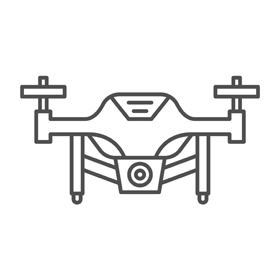
Our drone, eBeeX, scan the forest canopy in three dimensions with a range accuracy of 2 centimeters.
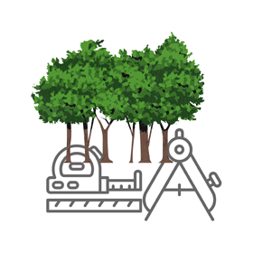
GROUND-BASED FOREST MONITORING
Ground-based carbon sampling plots allow us to collect critical information for each forest stratum, such as forest structure, diversity, plant species distribution, canopy condition, the presence of seed trees and old trees, and soil characteristics. Using this ground-collected information, we generate indicators linked to drone-captured images processed in the cloud. This results in a carbon estimation map, providing accurate information on carbon stocks and potential carbon emission and removal fluxes for each stratum.
DRON-BASED FOREST MONITORING
Our eBeeX drone, equipped with ARIA sensors and linked to a GPS/GNSS station in RTK/PPK mode, allows us to scan the forest canopy with a range of accuracy of 2 centimeters. This enables us to generate precise aboveground biomass information in three-dimensional structures. The data is integrated with information collected on the ground, refined by specific algorithms, and finally systematized for widespread replication across the entire project area.